
Backpacking the Saddlebag Lake Area (Lee Vining, CA) - Trip Report
The Saddlebag Lake Area is a very popular spot for fishing and hiking, located just outside of the East Entrance of Yosemite National Park. Because of it’s close proximity to Yosemite, the trail has the same High Sierra views that can be found in the National Park. At first glance of Saddlebag Lake, which has a more rigid and rocky look, you wouldn’t guess there would be a beautiful basin with a wide variety of different lakes just beyond Saddlebag.

Hiking Information
Location: Mono County - near Lee Vining, California
Trailhead & Parking: Google Maps
Date Hiked: June 29, 2020 - June 30, 2020
Nearest Restrooms: Saddlebag Lake Parking area
Fees: An overnight permit is required for any backpacking trip in the Inyo National Forest, which has a fee on recreation.gov. Day hiking this area does not require a permit and has no fees.
ID# on Recreation.gov: HH14
Season Accessibility: June - October
Trail Tip: Summer is this trail’s peak season, so going on a weekday will help avoid a busy trail
Trip Itinerary :


Trip Totals - Mileage: 14.5 miles, Elevation: + 2651 ft / - 2630 ft
The Drive/Parking
The trailhead for the Saddlebag area is just outside of the East Entrance of Yosemite National Park, here is a map for reference. It does involve a 2 mile section of rocky/dirt road, some sections with only enough width for one car so use caution. Any sized car can make the drive if driven with caution. Once the road reaches the lake, there’s plenty of parking and at the end of the large parking area, there are restrooms.
The Hike
Day 1
Morning Hike In - Saddlebag Lake Trailhead to Greenstone Lake [campsite] : 2 miles, elevation change of + 276 ft, - 255ft


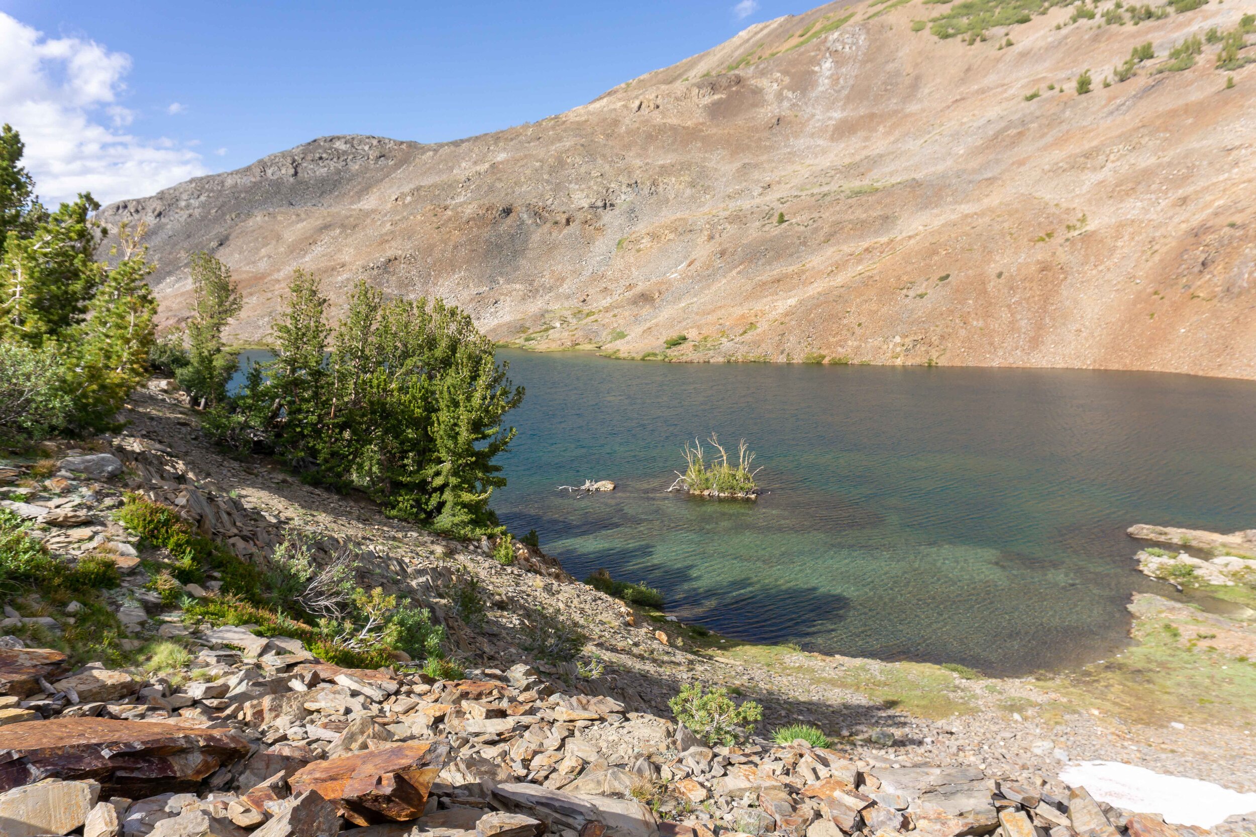
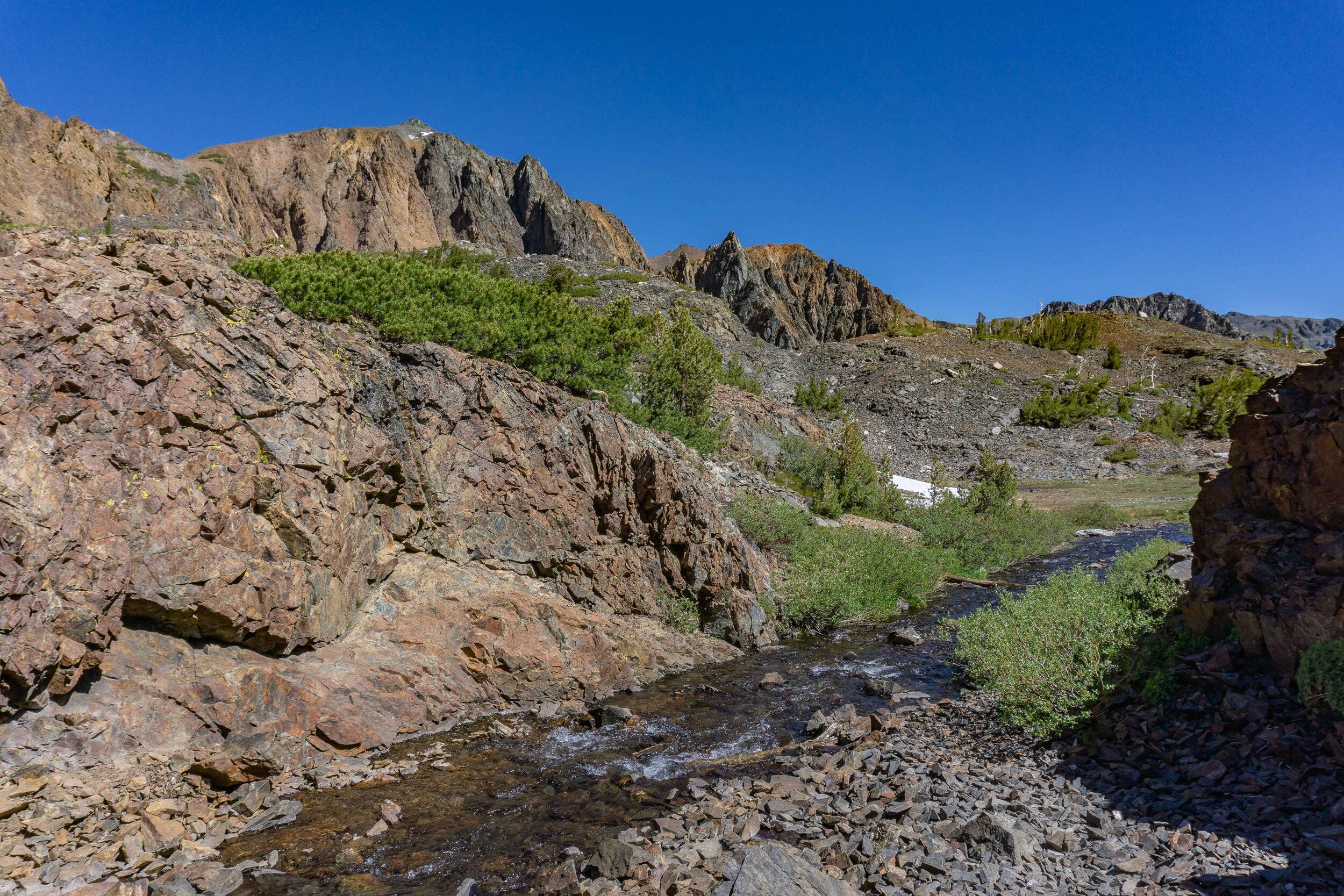
Kaitlin, Brandon, and I headed out of the Saddlebag Lake trailhead in the late morning. We opted for the left side of the trail (crossing the dam). The left side is shorter than the right side and both sides have a lot of loose rock/slate which isn’t fun on the feet, so the shorter the better. Saddlebag Lake was abnormally low this year due to some work done by SCE on the lake/dam area, it still made for a beautiful hike in.


After the rocky hike along the left side of Saddlebag, we reached the meadows beside Greenstone Lake. We chose to set up camp at Greenstone because it was central to all the hikes we had planned. We set up camp and took our smaller day packs on the trail from Greenstone Lake to Conness Lakes.
Afternoon Hike - Greenstone Lake [campsite] to Conness Lakes : 1.5 miles, elevation change of + 747 ft, - 82ft


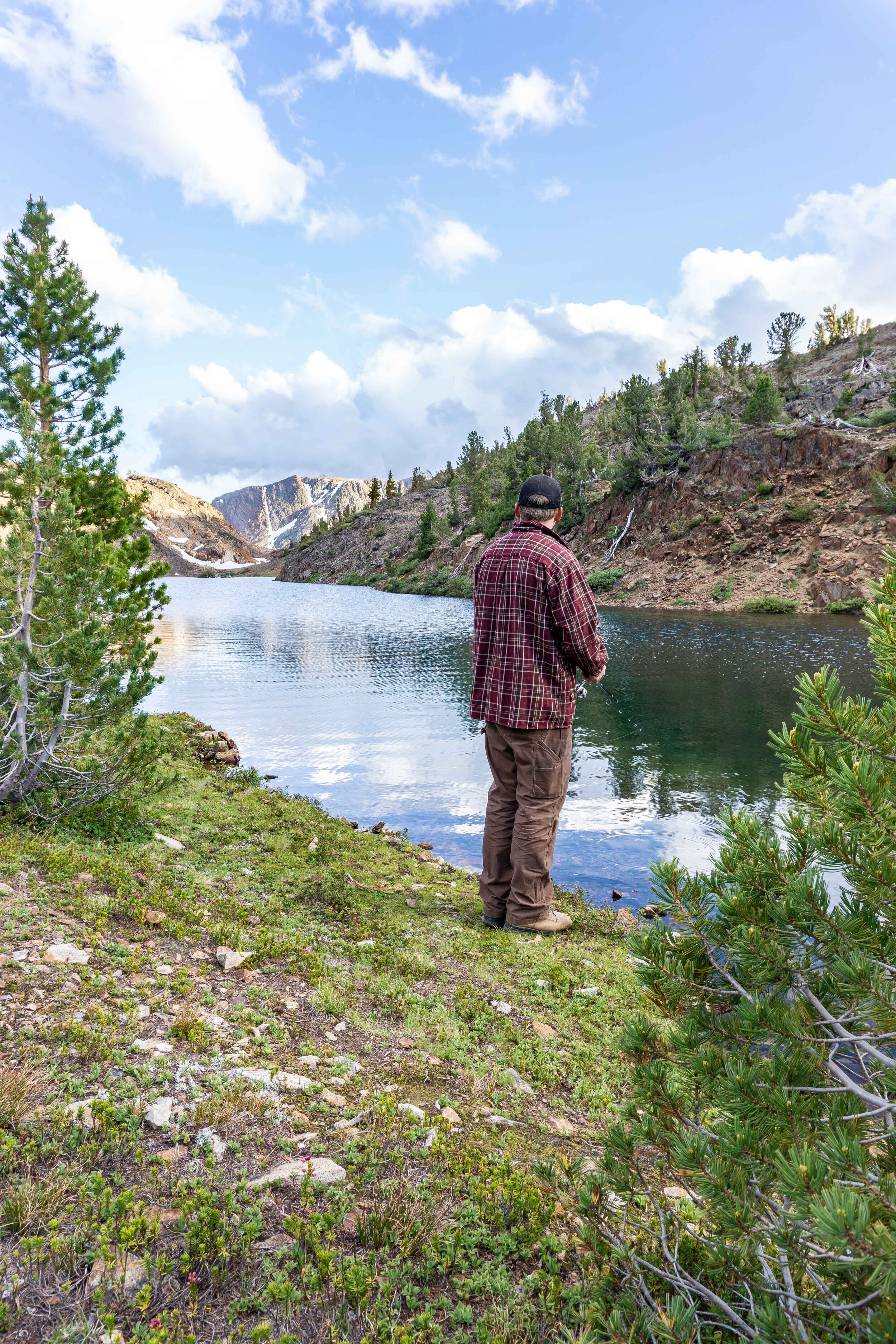
We stopped at the end of Greenstone Lake for some fishing. We all had luck with catching some small Brook trout with a fly and bubble set up.


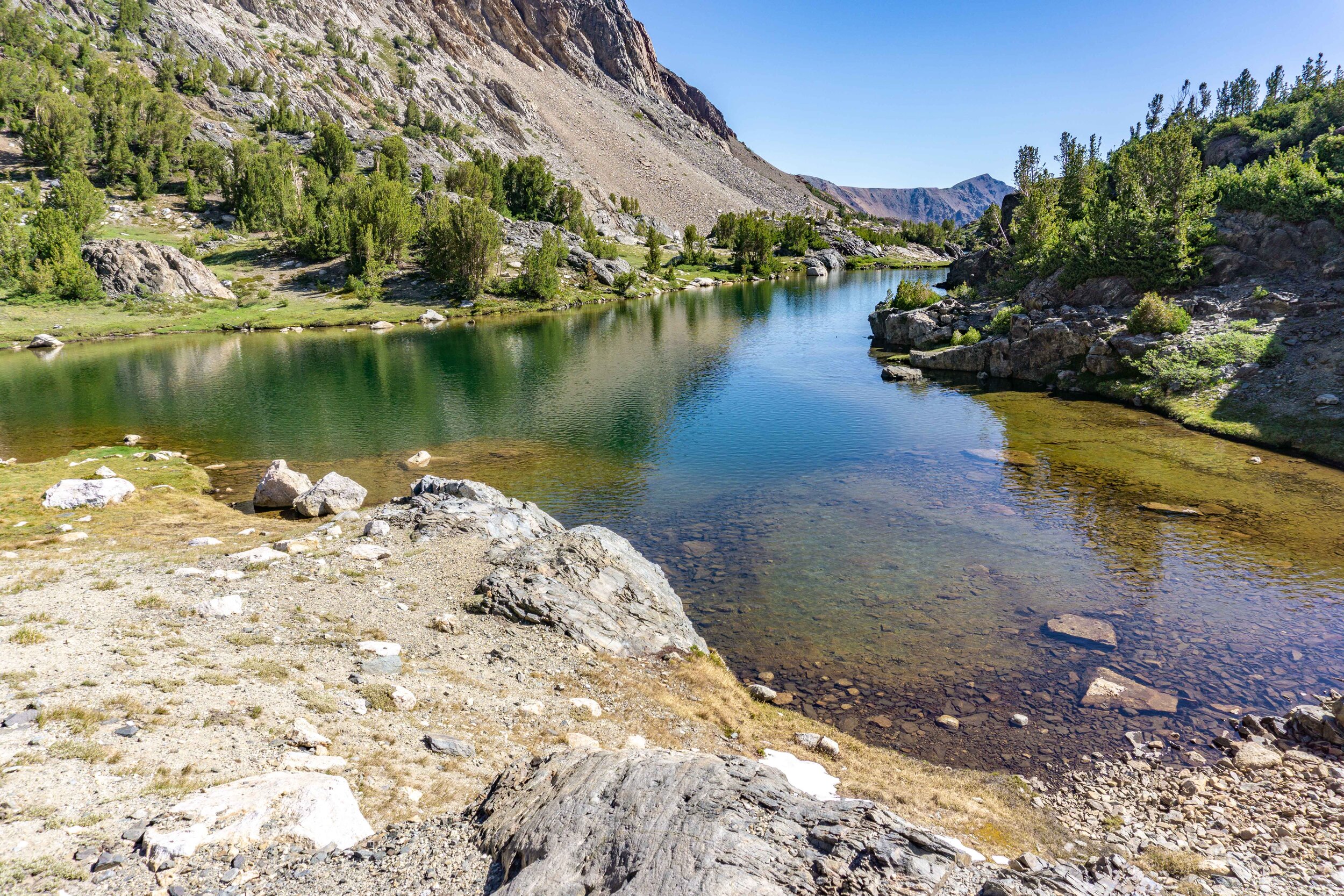
After some fishing fun, we continued along the beautiful trail that takes you up to Conness Lakes. There is a waterfall and wide section of creek, but we didn’t have any luck with fishing there.


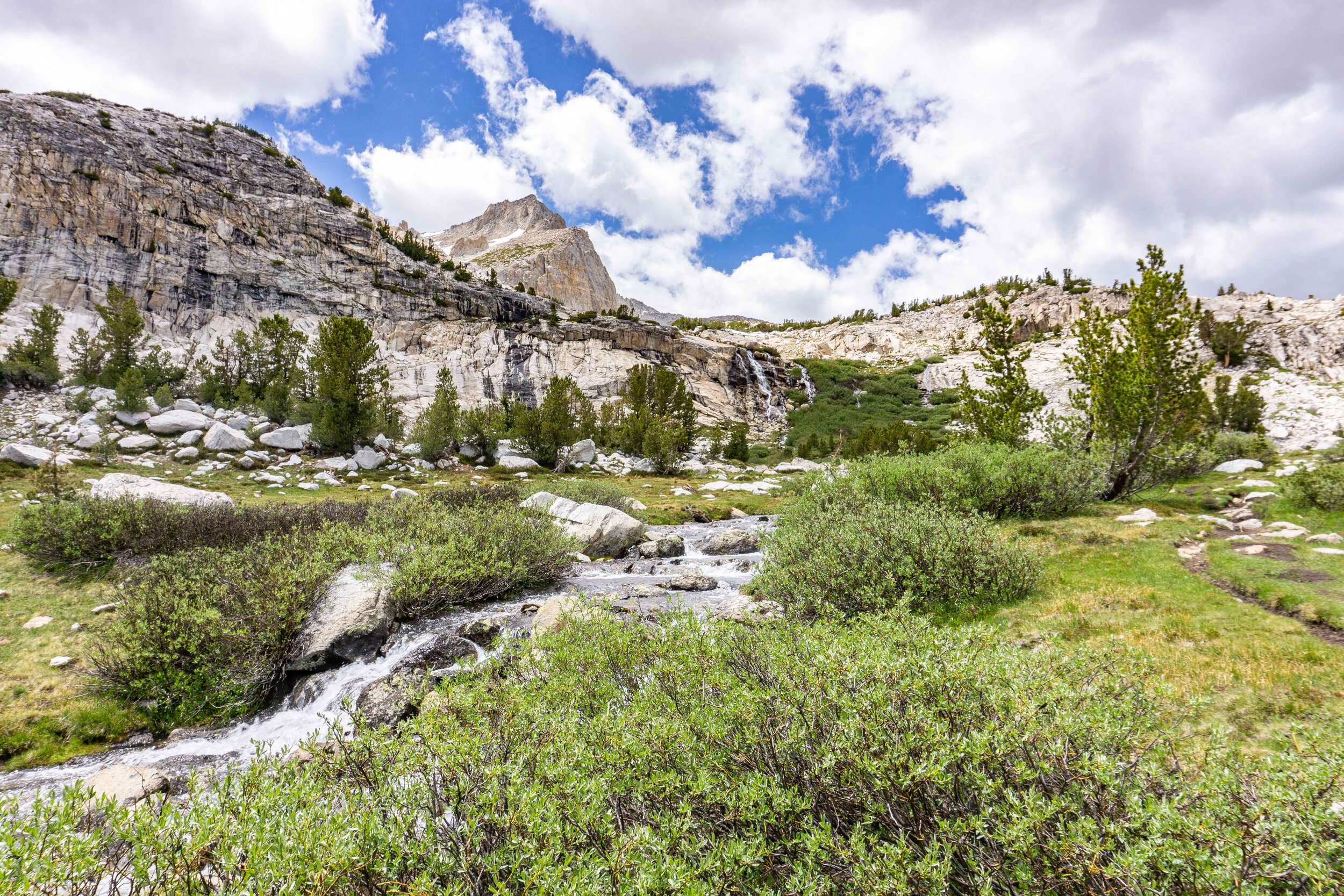

As we hiked closer to the waterfall, the trail faded in and out and we ended up going too much to the right. Luckily it gave us a beautiful view of the lakes below and looked like others had made a similar mistake (based on some footprints). Next time, I’ll remember to stay closer to the waterfall as the trail takes you right to the base of it.


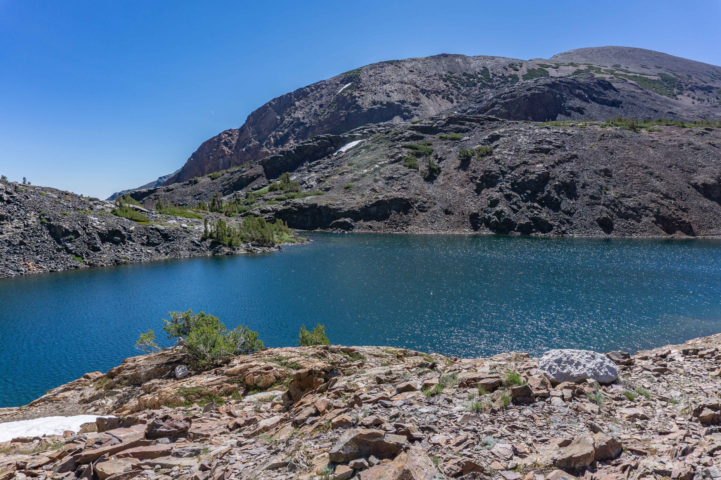
Once we reached the top of the waterfall, we were greeted by the stunning turquoise Conness Lakes with Mt. Conness & North Peak behind them.
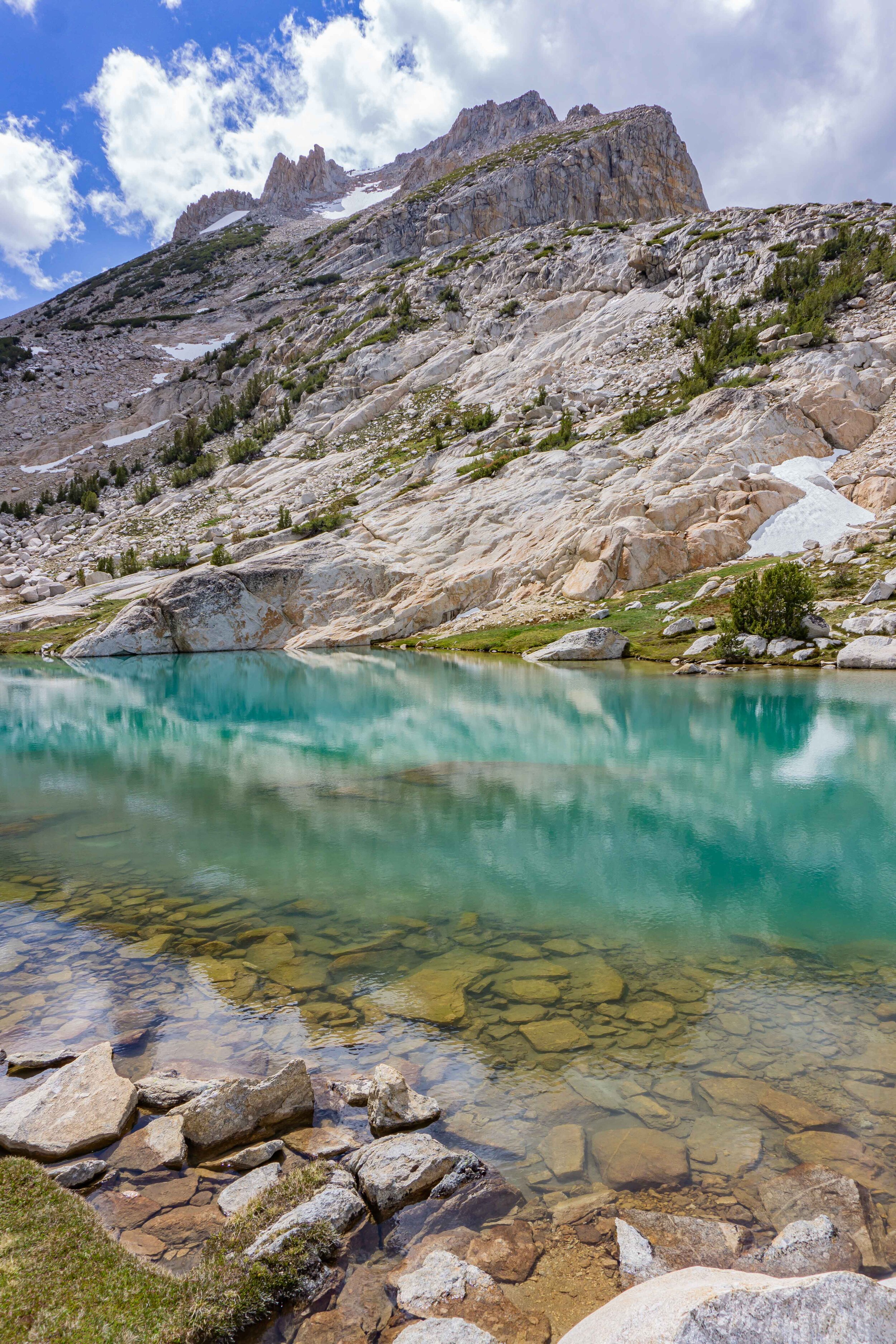

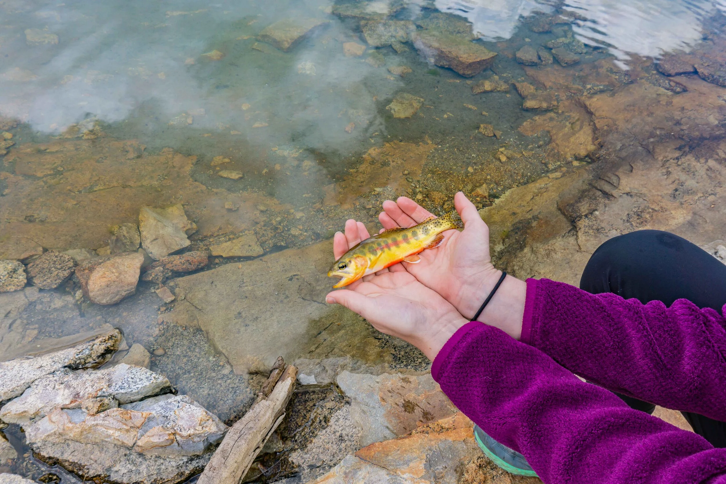
We stayed at the first set of Conness Lakes, but there also is another Conness Lake tucked away a bit higher on the trail. We had fun fishing out of the lakes and Kaitlin caught (and released) a golden trout! They are only found above 10,000 ft and just neat little guys.

After a bit, some dark clouds started to roll in the area and we headed down to our next little adventure - Odell Lake. Odell Lake is another spot you can catch golden trout, but also has Brook trout so it is common to get a hybrid of the two.

Looking back on where we just came from


Quick pit stop at camp on the way over to Odell
Evening Hike - Conness Lakes to Odell Lake : 3 miles, elevation change of + 392 ft, - 882ft


We met up with my boyfriend James to fish Odell Lake, since he wasn’t able to join on the whole trip due to work. The trek from Conness to Odell is mostly down, minus the last section.


We brought the MSR Pocket Rocket stove and our dehydrated dinners over to enjoy some dinner and fishing for the evening. Our group caught a few fish, mostly looked like hybrids of Goldens & Brookies or just normal Brookies.

After a few fish caught and a pretty chilly evening, we headed back to camp and James hiked back to his car. I walked with James a little bit of the way and enjoyed the golden hour light over Greenstone Lake. The temperature quickly dropped once the sun was down and we ended up going to bed fairly early, around 9ish.

DAY 2
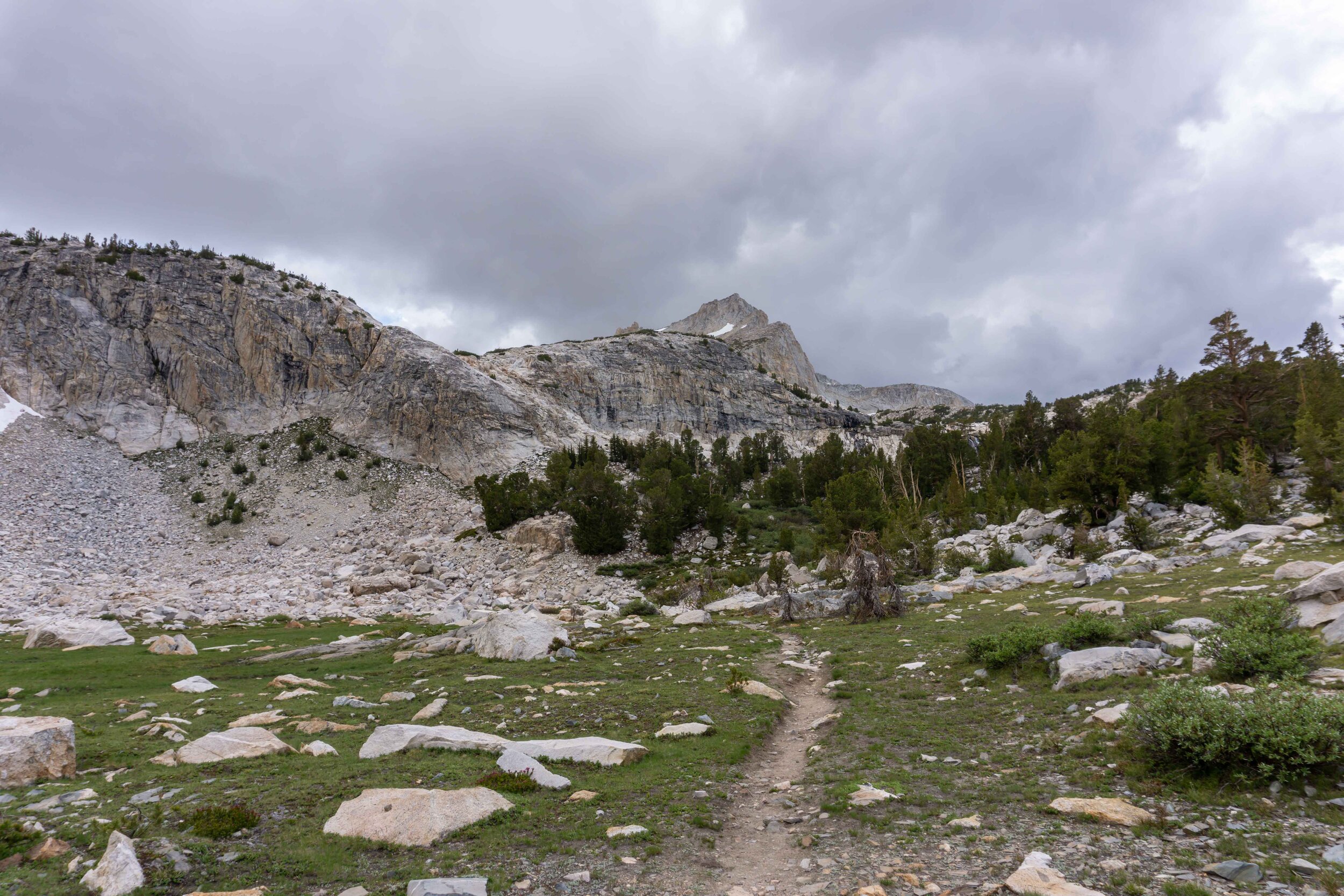
Morning Hike - Greenstone Lake [campsite] to Wasco Lake > Steelhead Lake > Excelsior Lake > Shamrock Lake > Helen Lake > Odell Lake > Hummingbird Lake > Greenstone Lake [campsite], also known as the Twenty Lakes Basin Loop : 4.5 miles, elevation change of + 807 ft, - 791 ft


The next morning, we woke up around 7am to eat some breakfast before heading out to do the Twenty Lakes Basin Loop. I enjoyed my go-to backpacking breakfast, a little instant oatmeal and enjoyed the view of Greenstone Lake from our camp area.


North Peak
Starting at Greenstone, we continued along the trail, doing the loop in a clockwise direction. The first lake to see beyond Greenstone is Wasco Lake.

Wasco Lake on the left
Wasco Lake is neat little lake and a popular camping spot along the loop. Just be sure you are staying 100 ft from the water to help keep this area beautiful for the next generation. The trail then passes by some small pond like bodies of water on the way to Steelhead Lake.

The big and beautiful Steelhead Lake. My assumption has always been that Steelhead is the deepest lake of the loop with such deep blue colors. There is another trail that you can take up to Cascade Lake (above Steelhead Lake) which is known to be a good fishing spot.

First view of Steelhead Lake & the smaller trail that goes up to Cascade Lake

Steelhead Lake with North Peak behind it
The next lake on the loop is Excelsior Lake. We crossed a little stream between Excelsior & Steelhead Lake to continue along the trail which then heads above the lake. From above, the colors of the lake are extremely beautiful.
Excelsior Lake before the crossing

Excelsior Lake from above, after the crossing
Next up, Shamrock Lake. Although I love all the lakes on the loop, Shamrock is definitely one of my favorites. It has a lot of colors from the varying levels of water depth and is near some slate rock which is home my favorite trail friend - Pikas.

Heading up the trail along Shamrock Lake


After Shamrock Lake is Helen Lake, which is also where the trail can head down Lundy Canyon (another great hiking area). To get to Helen Lake, we went through some a steep, downhill rocky section that requires to find your own way until connecting back with the trail. The trail is clearly at the bottom of the rocky section and gives a great view of the creek heading to Helen Lake.


Once reaching Helen Lake, we went around the lake almost completely to continue along the Loop. There is the option to continue to follow the creek following out of Helen Lake down to the Lundy Canyon, but I would suggest having a car parked there so you don’t have to hike all the way back up to this trailhead.
The way to Lundy Canyon


The way to continue Twenty Lakes Basin Loop
The slate rock uphill section is probably the only part of the trail that requires some work and in complete sunlight it can be a little tough. It pops out at Odell Lake (where we went on Day 1 for fishing with James). Odell Lake is beautifully colored with greens and blues and a popular fishing spot for Brook & Golden trout.


Not too much further, you’ll see Hummingbird Lake, another colorful little lake. I’ve never actually taken the time to explore the trail around Hummingbird Lake but it would make for a nice spot to stop for a snack or a water break.


After Hummingbird Lake we looped back to our campsite near Greenstone Lake to pack up and head back to the Saddlebag Lake trailhead. This was a great first backpacking trip of the season to get some miles in with our packs without anything too steep or crazy. I always recommend this area as a good intro to backpacking with so much scenery without too much incline and it’s a non-quota area for permits so there is enough permits for everyone. It’s important to follow the Leave No Trace principles so this area can stay non-quota and beautiful, Happy Trails!
Also don’t forget to get a well deserved juicy burger and shake from Mono Cone in Lee Vining after your adventures!


VIDEOS OF MY ADVENTURE
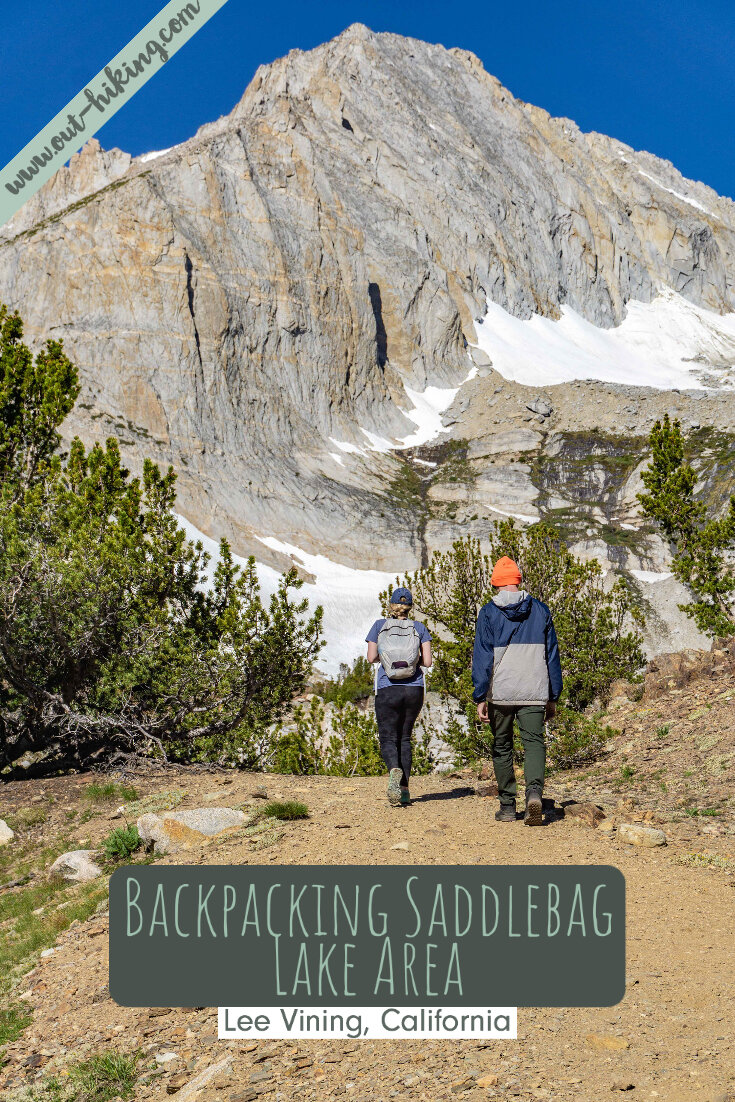
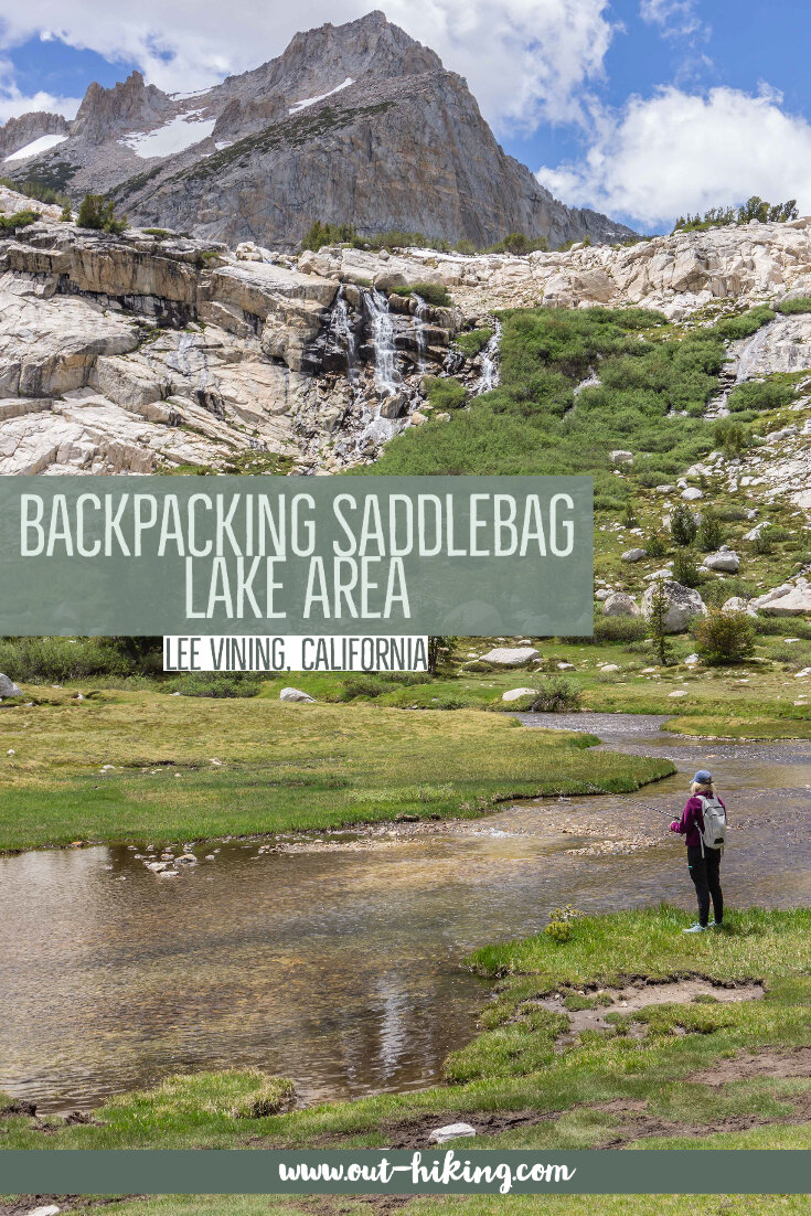
PIN THIS for later!

Thanks for reading my latest adventure!

Tiare Kirkland
Hi! My name is Tiare, but you can just call me ‘T’. I’m a California based hiker and I spend most of my free time taking photos and videos of some of my favorite hikes. You can usually find me ‘Out Hiking’ in the Sierra Nevada mountain range or road-tripping to new areas. Read more about me here and follow along with my adventures by subscribing below!