
Hiking along Mine Creek (Lee Vining, CA) - Trip Report
This trail doesn’t have an official name or even a sign (I’ve been calling it the Mine Creek trail), instead it starts out on what used to be a mining road. It beings on a pull out along Tioga Pass before reaching the Yosemite entrance and you wouldn’t even know it was a trail without prior knowledge. The trail takes you along Mine Creek to the old mining area, the Bennettville buildings, Shell Lake, Fantail Lake, Spuller Lake, Maul Lake, and Green Trebble Lake. It is within the Hoover Wilderness as well as the Harvey Monroe Hall Research Natural Area.
Hiking Information
Location: Mono County - near Lee Vining, California
Trailhead & Parking: Google Maps
Date Hiked: June 26, 2020
Trail Type: Out & Back
Elevation Change: 805 ft
Distance Roundtrip: 7 miles
Nearest Restrooms: across the street from the trailhead
Fees: Day hiking this area does not require a permit and has no fees. There is no overnight camping allowed in this area.
Season Accessibility: June - November (depending on Tioga Pass opening & closing dates)
Trail Tip: On the way up, you can check out the old mine or the Bennettville buildings & check out whichever you didn’t see on the way down.
The Drive/Parking
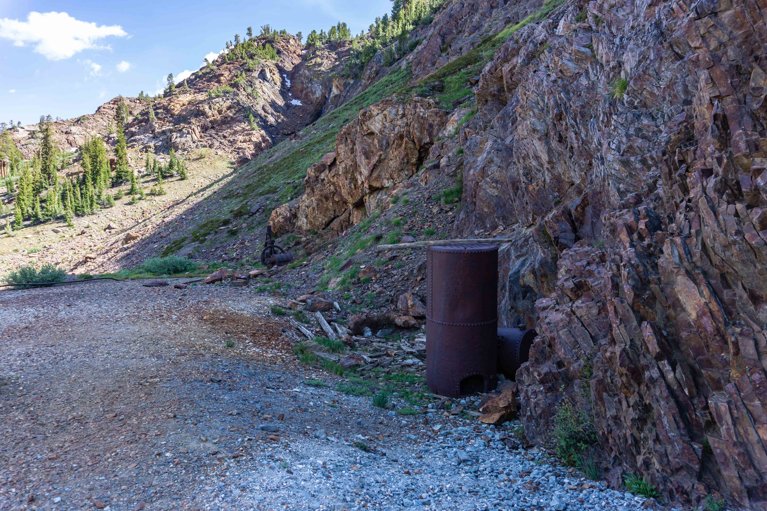
As mentioned previously, there isn’t any signage or even an official trail name for this hike. With that in mind, the parking area looks like nothing more than a pullout. If you’re coming from the east side of the 120, it’ll be on the right hand side. It’s just before the Tioga Lake lookout parking lot (parking lot is on the left side of the road) which is a large parking lot and restrooms. If you’re coming from the west side of the 120, seeing the Tioga Lake lookout parking lot will be a good warning that you’re very close. I included some photos of the parking area and a google map as reference to finding the parking lot. The pullout/parking area is only big enough for about 4-5 cars so use the Tioga Lake lookout parking lot as a backup parking area.


If you see this old mining artifact, you've found the right pullout!
The Hike
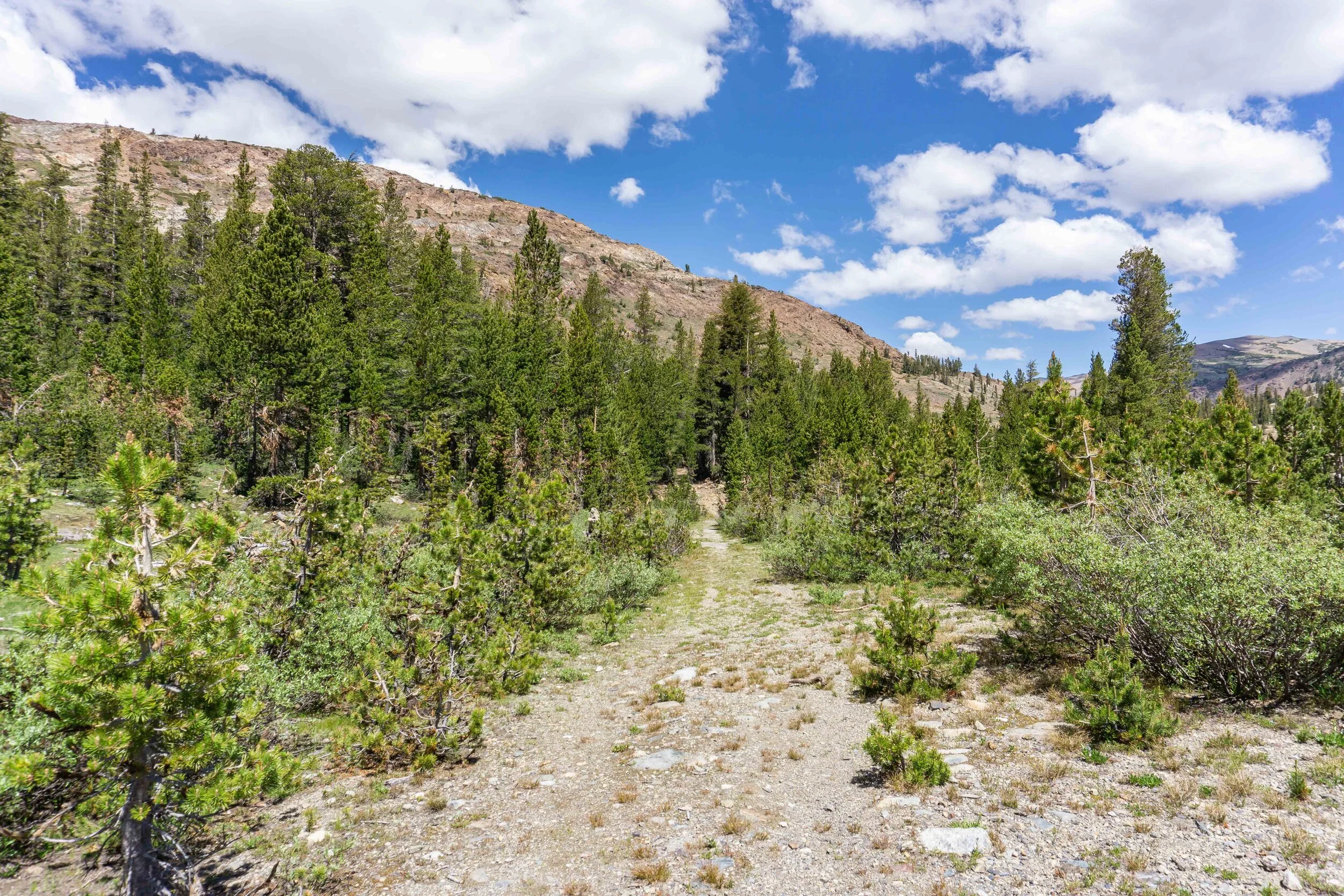
The trail starts out flat along what used to be a mining road. It takes you along side Tioga Pass for a little bit of the way and you’ll reach a fork in the trail at 0.2 miles - be sure to stay left. Going to the right would take you to another turn out along Tioga Pass.
Stay left for the Mine Creek trail
Within 0.75 miles of the trail, there are 4 small ponds which are pretty, but… mostly just mosquito breeding grounds.


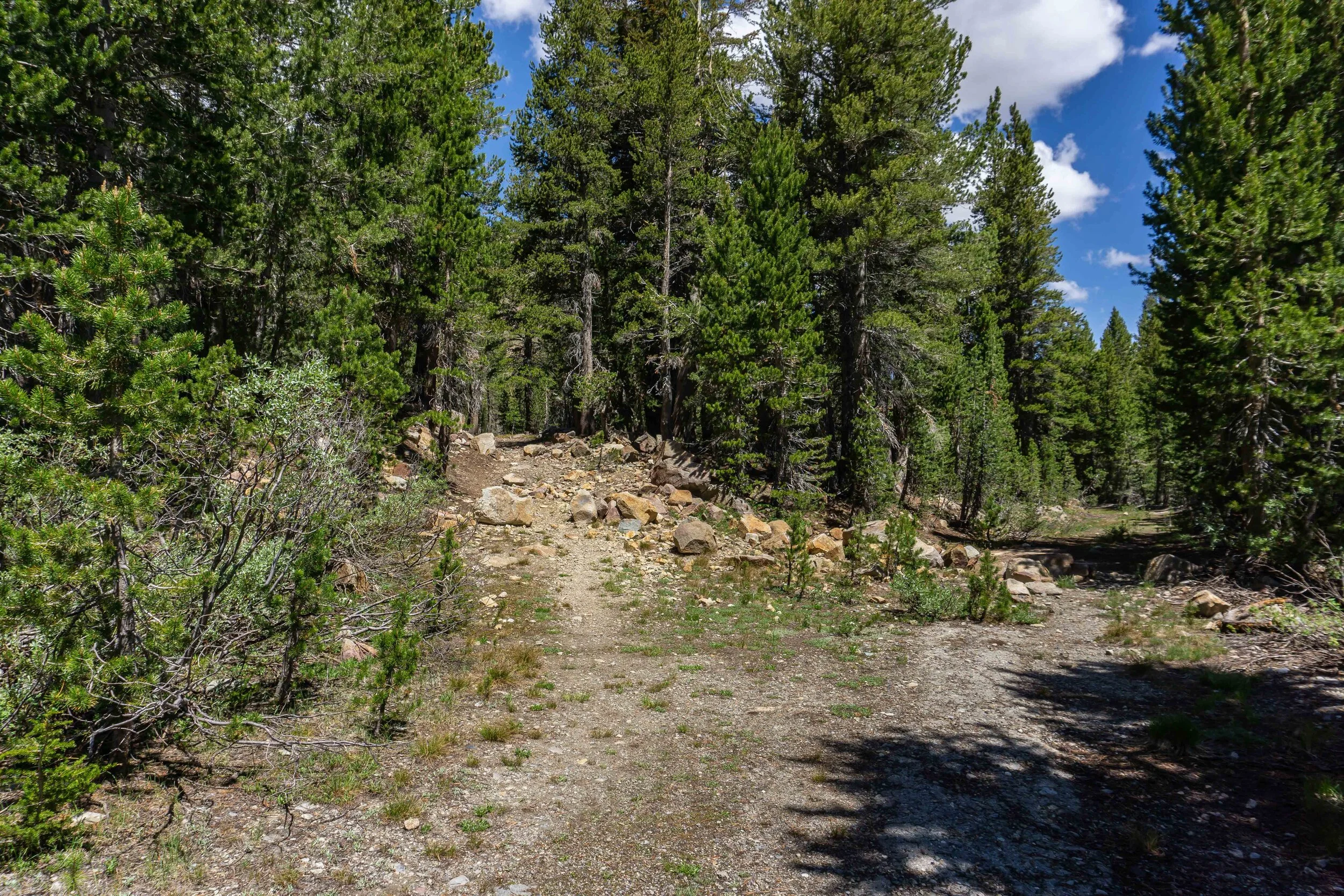
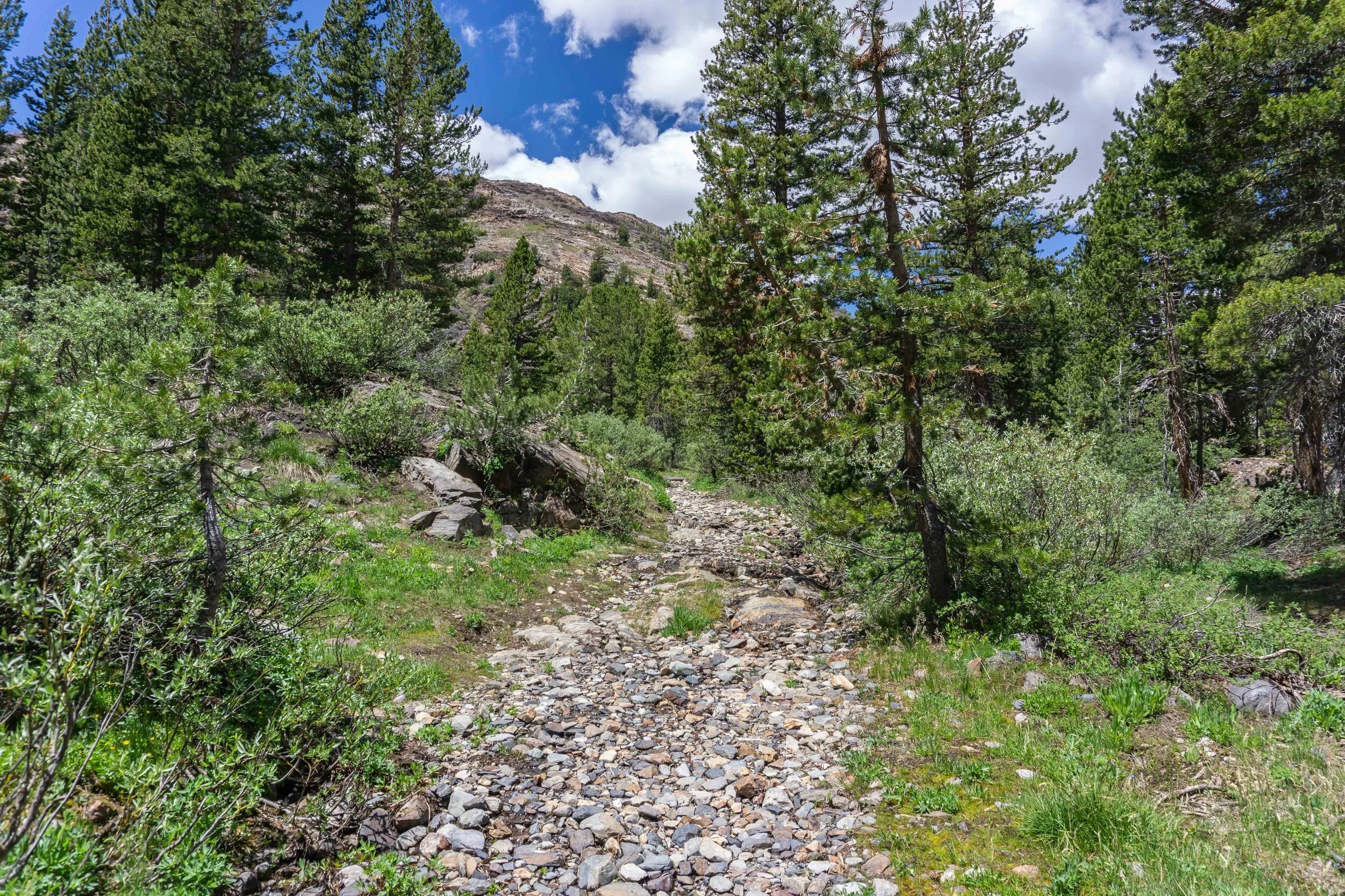
After the mosquito ponds, the trail turns into a more rocky terrain and has a lovely little waterfall. This leads to where the old mine & Bennettville buildings are, and I choose to see the buildings first. To get there, the trail fades but if you look carefully, you’ll see the two track marks of the old mining road. You’ll have to cross the creek at the end of the track marks.


Faded mining road to the Bennettville buildings

Mine Creek

Creek crossing to the Bennettville buildings
After crossing the creek, the buildings were to my right. These two buildings were restored by the US Forest Service, and this is where the old mining town of Bennettville once was. Apparently, silver was found in this area back in the 1860s.


After checking out the buildings, I continued along the Mine Creek trail. About a quarter mile later, I reached Shell Lake, which is a shallow lake with pretty colors and lots of little fish.


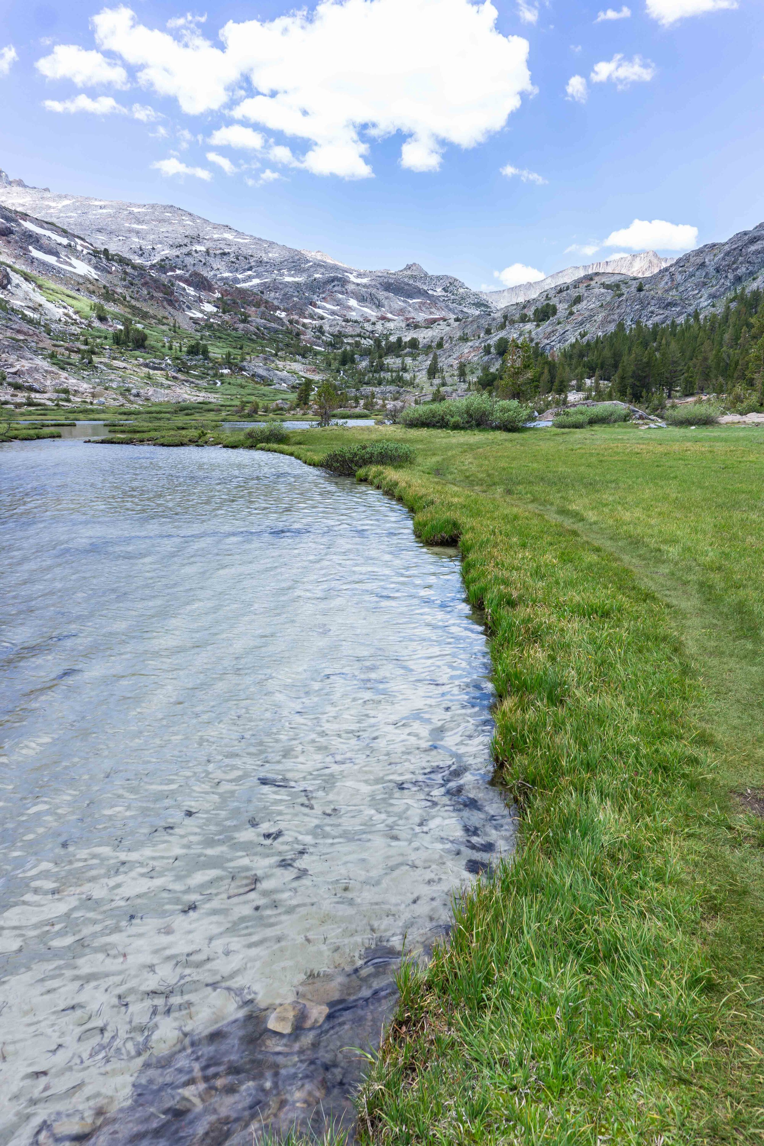
After Shell Lake, there is a wide section of the Mine Creek that almost looks like it could be a small lake. You’ll continue along the trail which is directly beside the Mine Creek pretty much 99% of this trail.


Before reaching Fantail Lake, I came across the first sign I saw on the trail. It’s indicating that I reached the boundary of the Research Natural Area, asking to not to camp, drive, cut wood or anything that may disturb the natural area.


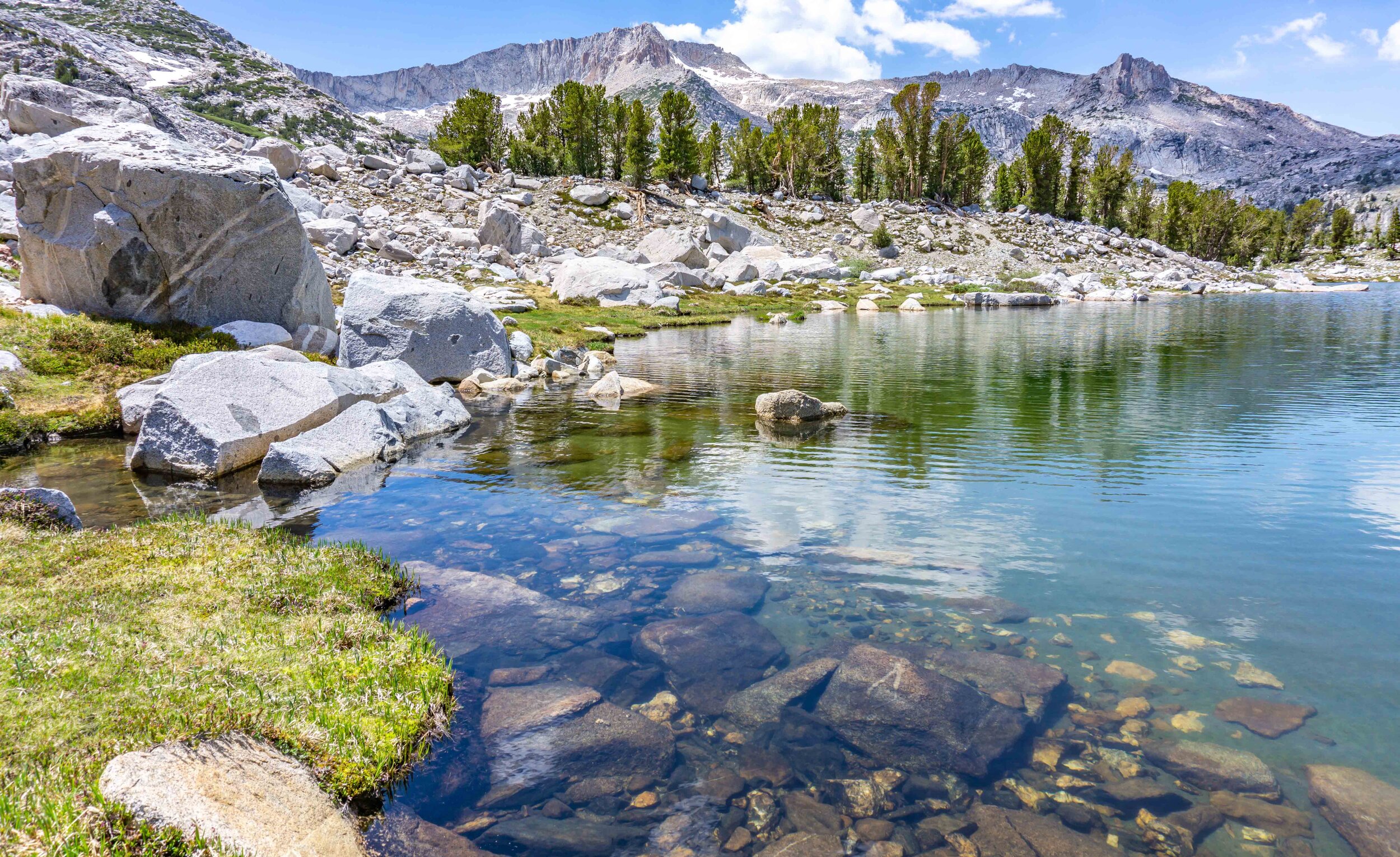
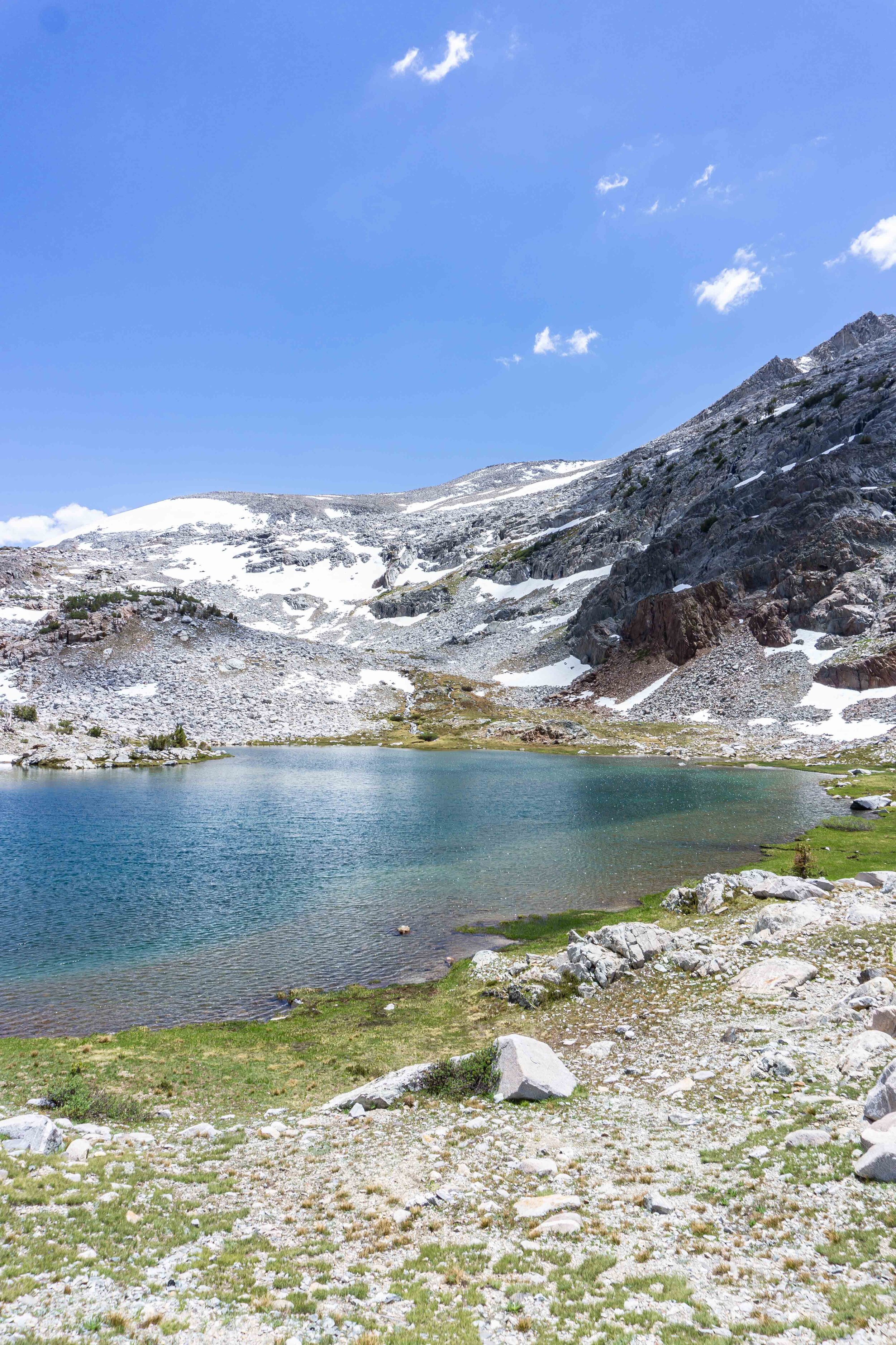
At 2 miles into the trail, I arrived at Fantail Lake. A large, yet shallow lake with the backdrop of Mt. Conness and North Peak. There were parts of the shore that were so clear that it looked like some beautiful caribbean waters.


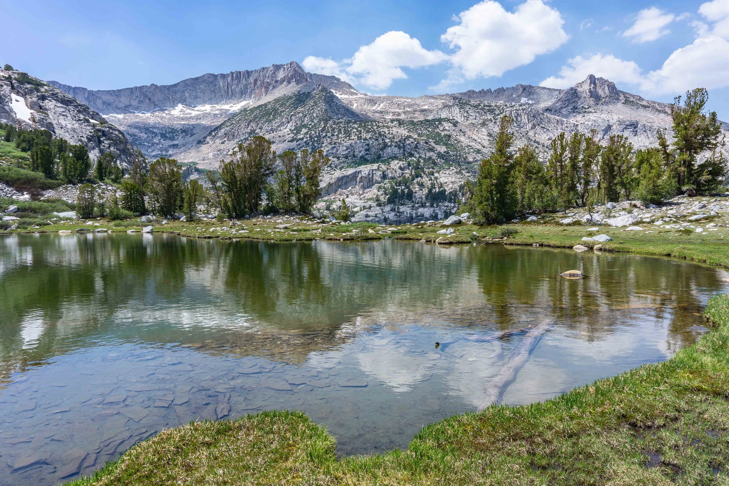
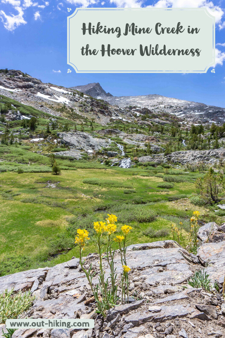
Beyond Fantail Lake the trail continues to get more beautiful. There’s a green meadow with the creek meandering through it, along with waterfalls and stunning mountain views. I could have spent all day in this area just enjoying the peaceful scene.


Up to this point, there’s been almost no incline on the trail, but beyond Fantail Lake is where the trail starts to head up a little bit. The trail gradually follows up the creek to Spuller Lake. Spuller Lake has the most colors of all the lakes so far with deep turquoise, teal, blue, and green.


The trail from Spuller Lake to Maul Lake & Green Trebble Lakes is very faint and easy to lose. I headed up to ridge-line as I remember my navigation showing the trail going up. From that point, I could see the two lakes down below and even Saddlebag Lake in the distance! After heading down, I circled around Maul Lake and then to Green Trebble Lake.

Green Trebble Lake on the far left and Maul Lake on the right

Maul Lake with Saddlebag Lake just barely showing up in the distance

Maul Lake
Green Trebble Lake
The views were stunning with Mt. Conness and North Peak fully in view now, as they were peaking through here and there in parts of the trail. After some time enjoying these lakes, I made my way back down the trailhead with one more sight to see - the Old Mining Area. Once I passed Shell Lake, there was a creek crossing that led up to the mine.


I had a blast, pun intended ;), walking in the mine though it was barred up not far into it. I’m sure it’s a safety thing, but how neat would it be to strap on a headlamp and explore back in there. I loved this area because I’d driven by it countless time without a clue that beauty was hiding back there. I hope you can see this area for yourself some day or at least got some happiness out of the trip report I wrote up. Happy Trails!
VIDEO OF MY ADVENTURE
PIN THIS for later!


Thanks for reading my latest adventure!

Tiare Kirkland
Hi! My name is Tiare, but you can just call me ‘T’. I’m a California based hiker and I spend most of my free time taking photos and videos of some of my favorite hikes. You can usually find me ‘Out Hiking’ in the Sierra Nevada mountain range or road-tripping to new areas. Read more about me here and follow along with my adventures by subscribing below!