
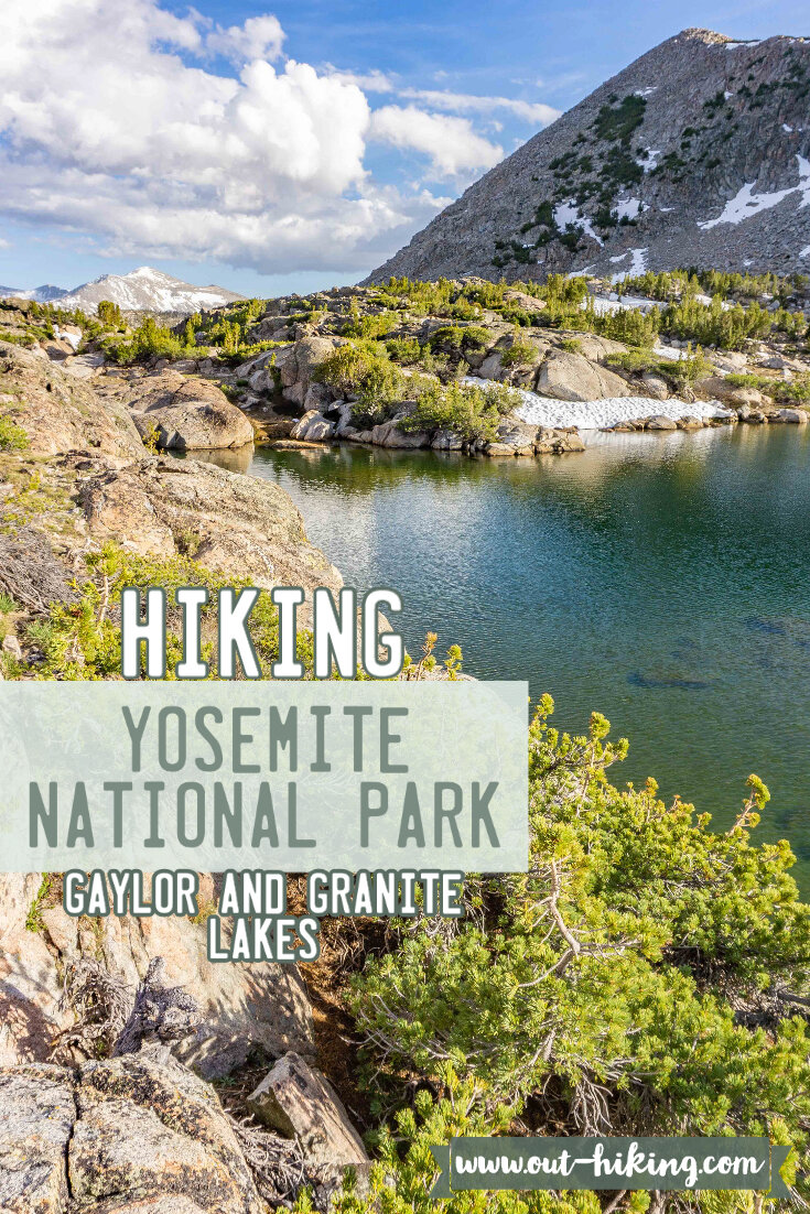
Hiking to Gaylor Lakes & Granite Lakes (Yosemite National Park) - Trip Report
Gaylor Lakes trail is right next to the Tioga Pass entrance of Yosemite National Park. This means the trail starts out a very high elevation, 9974 ft to be exact. With that in mind, take your time up this trail, because that elevation will catch up to you. Once you conquer the climb, you’ll be treated to a beautiful view of Gaylor Lakes on one side and the other side features Tioga Pass from above with little lakes and stunning peaks. Technically, you’ll see the Middle and Upper Gaylor Lake as the lower Gaylor Lake is it’s own separate trail a few miles further down the Tioga Pass road. Above Upper Gaylor Lake is an abandoned mine area by the name of the Great Sierra Mine. Beyond the Great Sierra Mine, you can cross country travel to Upper & Lower Granite Lake.

Hiking Information
Location: Yosemite National Park (along Tioga Pass, near Lee Vining, California)
Trailhead & Parking: Google Maps
Date Hiked: June 18, 2020
Trail Type: Loop / Out & Back mixed
Elevation Change: 1,298 ft
Distance Roundtrip: 4.25 miles (if you’re just doing Middle & Upper Gaylor Lakes, it’s 3 miles)
Nearest Restrooms: at the trailhead
Fees: There is a fee to enter Yosemite National Park, here is information Yosemite entrance park fees. Currently due to COVID-19, you can only enter the park through the reservation system, all helpful information on the reservation system found here.
Important note: No overnight camping is allowed in the Gaylor Lakes region, day hiking only.
Season Accessibility: June - November (depending on Tioga Pass opening & closing dates)
Trail Tip: With a panorama like view of many peaks in this area, try to go on a clear day to see them all.
The Drive/Parking
The trailhead for this hike is an immediate right turn after entering through the Tioga entrance to Yosemite NP when coming from the East. If coming from West, it will be the very last left turn into a parking lot as you start to see the entrance/exit area. The parking lot has about 10-ish parking spots, but I included the next closest parking lot if the Gaylor Lakes parking lot is full on this google map.
The Hike
The hike starts off with a decent incline and I had to slow my pace a bit as the immediate incline + high elevation had me breathing a little heavy. I live in high elevation and it still leaves me winded from time to time! I took my time up this wooded incline section as it’s about half a mile of incline.


As the trail gets higher up, more and more views of Tioga Pass will peak through the trees and it’s quite the sight.


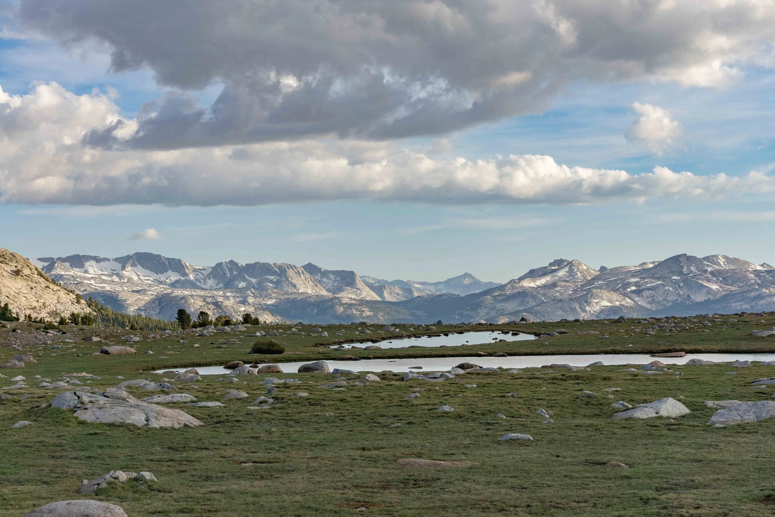
Once reaching the top of the incline section to a more rocky terrain, I started to see the Middle Gaylor Lake from above as well as the Yosemite National Park boundary.

Middle Gaylor Lake

Yosemite NP boundary beyond that crest
The trail heads down to the shore of Middle Gaylor Lake. I opted to follow the trail to the left which takes you completely around the lake. I didn’t add that to the trail total mileage, so if you add that to your hike, it will add 0.7 miles to your total mileage. I circled the whole lake because I was eager to see the peaks from the back side of the lake.


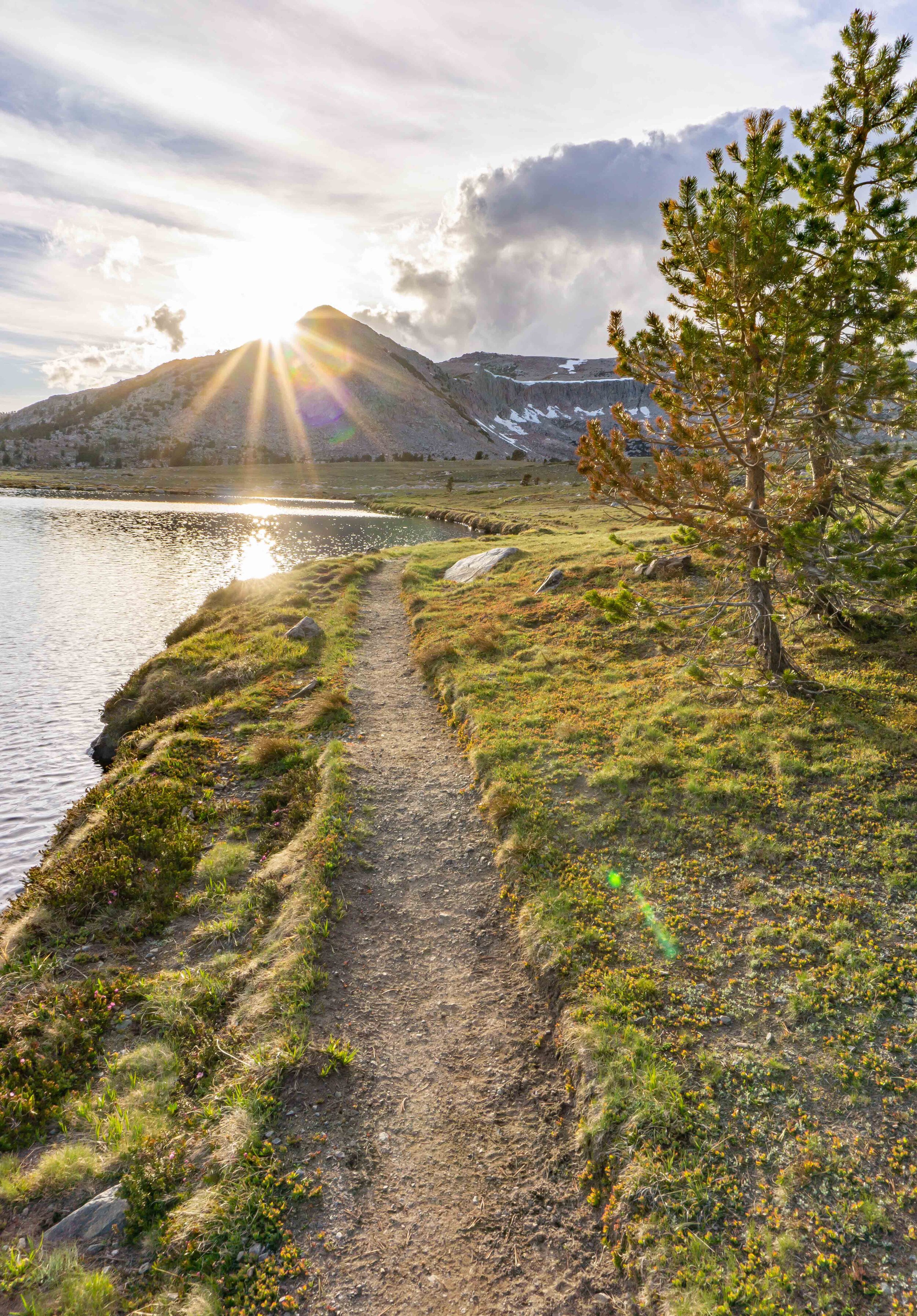
The clouds started to roll in once I reached the point of the trail that heads up to Upper Gaylor Lake.


The trail from Middle Gaylor Lake to Upper Gaylor Lake follows along a pretty little creek with a mild incline.


Once reaching the lake, there are some striking views of peaks along the Tioga area. To the right, there’s Gaylor Peak with Mt. Dana peaking out from behind. And turning around (facing towards Middle Gaylor Lake) there’s Mt. Gibbs, Mt. Lewis, the Kuna Crest, and a few more I’m definitely forgetting.

Gaylor Peak + Mt. Dana

Tioga Pass Peaks
Continuing along the trail, it starts to increase the incline to reach the Great Sierra Mine area. I strongly recommend heading up here, even if the mine doesn’t strike any interest, the views alone are well worth a little more incline.


Can you spot the Marmot? It blends in very well

I only spent some time at the first house structure as I was limited on sunlight and was more eager to see Granite Lakes. There were more structures I could see beyond the first house and I’ve read there are mining pits back there as well. I then traveled via cross country as there is no defined trail from Gaylor Lakes to Granite Lakes. In Yosemite’s Wilderness Rules, it mentions maximum group size of 8 people when traveling cross country to help avoid unnecessary erosion to the area.


Remember to stick to durable surfaces when possible if you are cross country traveling.

Lower Granite Lake
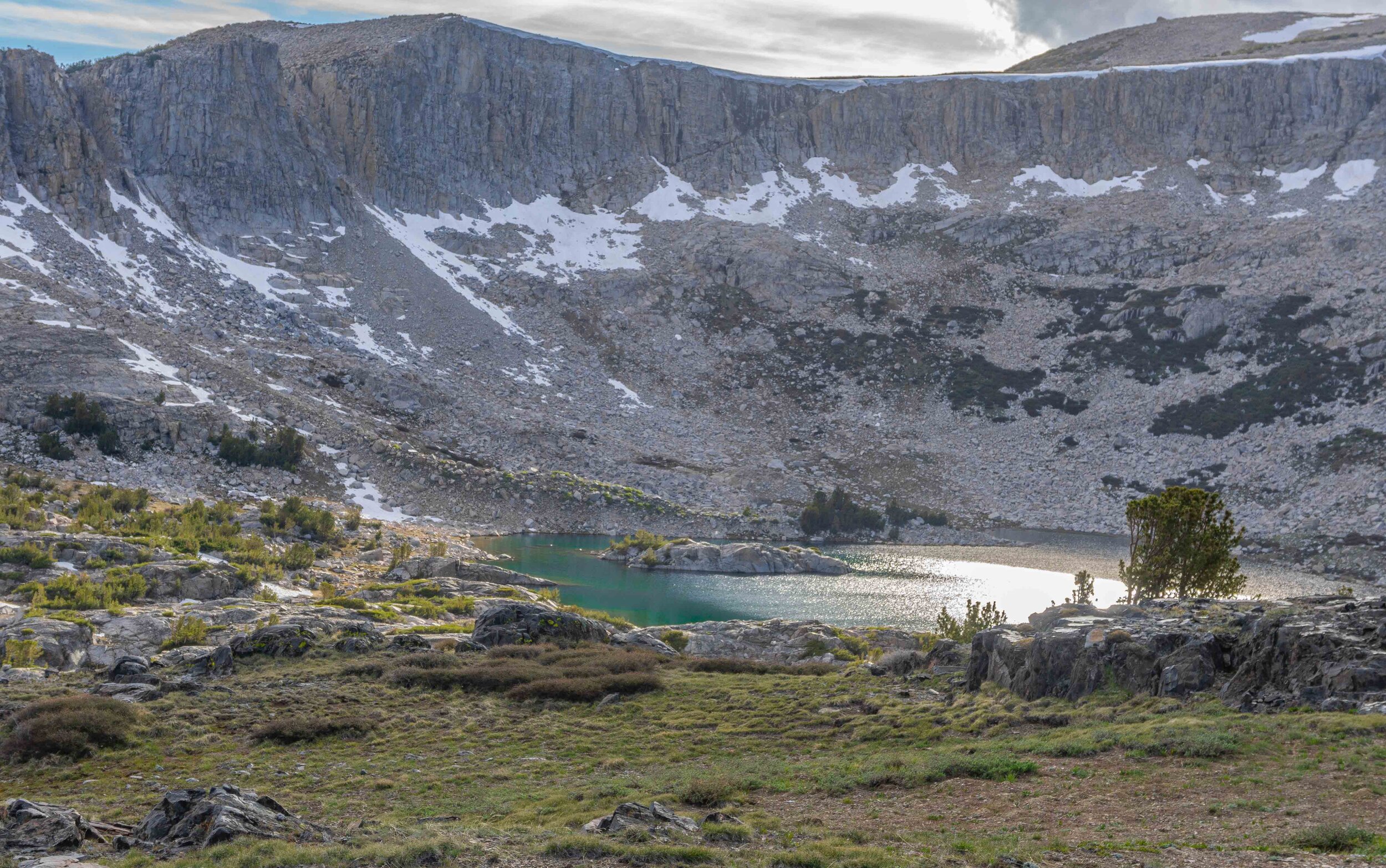
Upper Granite Lake

First glance at Lower & Upper Granite Lakes from above was especially beautiful when the sunlight hit the lakes, showcasing their beautiful turquoise color. I made my way to Upper Granite Lake with just a small window of sunlight left to see it’s beautiful color up close.


I was able to snag a few photos before the clouds came back and darkened the area. Following the creek the flowed from Upper Granite Lake into Lower Granite Lake, I was amazed by the views. The lakes were in this crest-like basin, almost reminded me of the Mammoth Crest back home.


Lower Granite Lake was beautiful, but I didn’t get a lot of sunlight on the lake so I missed out on it’s turquoise color. I did accidentally capture a fish popping out of the water for a buggy snack.


There was a trail along side Lower Granite Lake so stick to that to help preserve this area. It eventually disappears so you will have to somehow cross country travel a bit more to reconnect with the Gaylor Lakes trail.

Looking back on Lower Granite Lake

There were some drastic views when heading back to the Gaylor Lakes trail, I was really blown away by how high up these lakes are to have these views. Once back on the trail, you will have a bit of an incline, but then the trail is all down hill with more striking views. I hope you can check out this heavenly area in Yosemite or at least got some enjoyment out of the trip report I wrote up. Happy Trails!


VIDEO OF MY ADVENTURE
PIN THIS for later!

Thanks for reading my latest adventure!

Tiare Kirkland
Hi! My name is Tiare, but you can just call me ‘T’. I’m a California based hiker and I spend most of my free time taking photos and videos of some of my favorite hikes. You can usually find me ‘Out Hiking’ in the Sierra Nevada mountain range or road-tripping to new areas. Read more about me here and follow along with my adventures by subscribing below!